AtlasCast, an Atlas United product
ML Storm Forecast by Address
Probabilistic, address-level storm forecasts, 24 hours to 10 days ahead, for 10 perils: tornado, hail, wind, flash flood, heavy rain, winter, ice, coastal surge, hurricane and wildfire. A separate machine-learning model runs for each peril. Models are trained and validated chronologically on held-out reported events, and use only information available at forecast issue time. Forecasts refresh 4 times a day.
- You get
- Per address: structure replacement value in USD (replacement cost, not market value) and the estimated people there, plus the full address, forecast time, storm type, risk label and past storm reports. Every paid response carries a reference_id receipt.
- Price
- $0.05 per address. limit= caps the rows; limit=10 is a 50 cent sample.
- Free preview
- Free. County, window, counts per storm type and the exact cost, with the county A to F grade shown as a teaser only.
- What it is not
- Forecasts describe what could happen, not what will happen. Not a prediction of damage to any structure. The county grade is a whole-county label, not a property score.
dataset=risk&addresses=trueAtlas United
Model-Based Weather by Address
Point weather for any U.S. address or coordinate: current conditions, active severe weather alerts and a short-term rain outlook.
- You get
- The free lean answer: temperature, dewpoint, humidity, wind speed, gust and direction, precipitation and type, pressure, visibility and alerts. With details=true, over 170 variables, including hail size, storm rotation, lightning, reflectivity, instability, cloud layers, winds by level, soil, snow and vegetation.
- Price
- Free lean response. $0.0002 per call with details=true, or $0.0002 per location in a batch of up to 500.
- Free preview
- The lean response is the free preview. No account.
- What it is not
- Weather conditions, not a hazard or damage assessment.
dataset=weather&details=trueAtlas United
Model-Based Hourly Forecast by Address
Hour-by-hour forecast weather for any U.S. address or coordinate, 0 to 48 hours ahead. The answer says which forecast hour it used.
- You get
- Temperature, dewpoint, humidity, wind, gust, precipitation, visibility, pressure, hail size, lightning rate and a tornado rotation score for the hour you ask about, about 40 core fields with details=true, plus forecast_hour_used and a forecast note.
- Price
- $0.0002 per call with details=true. The lean answer is free.
- Free preview
- The lean response is free, no account.
- What it is not
- Forecast hours carry fewer fields than current conditions. Weather, not a hazard or damage assessment.
dataset=weather&hours_ahead=0-48TrueFixR
Storm History by Address: Reported and Radar-Detected Events Since 2003
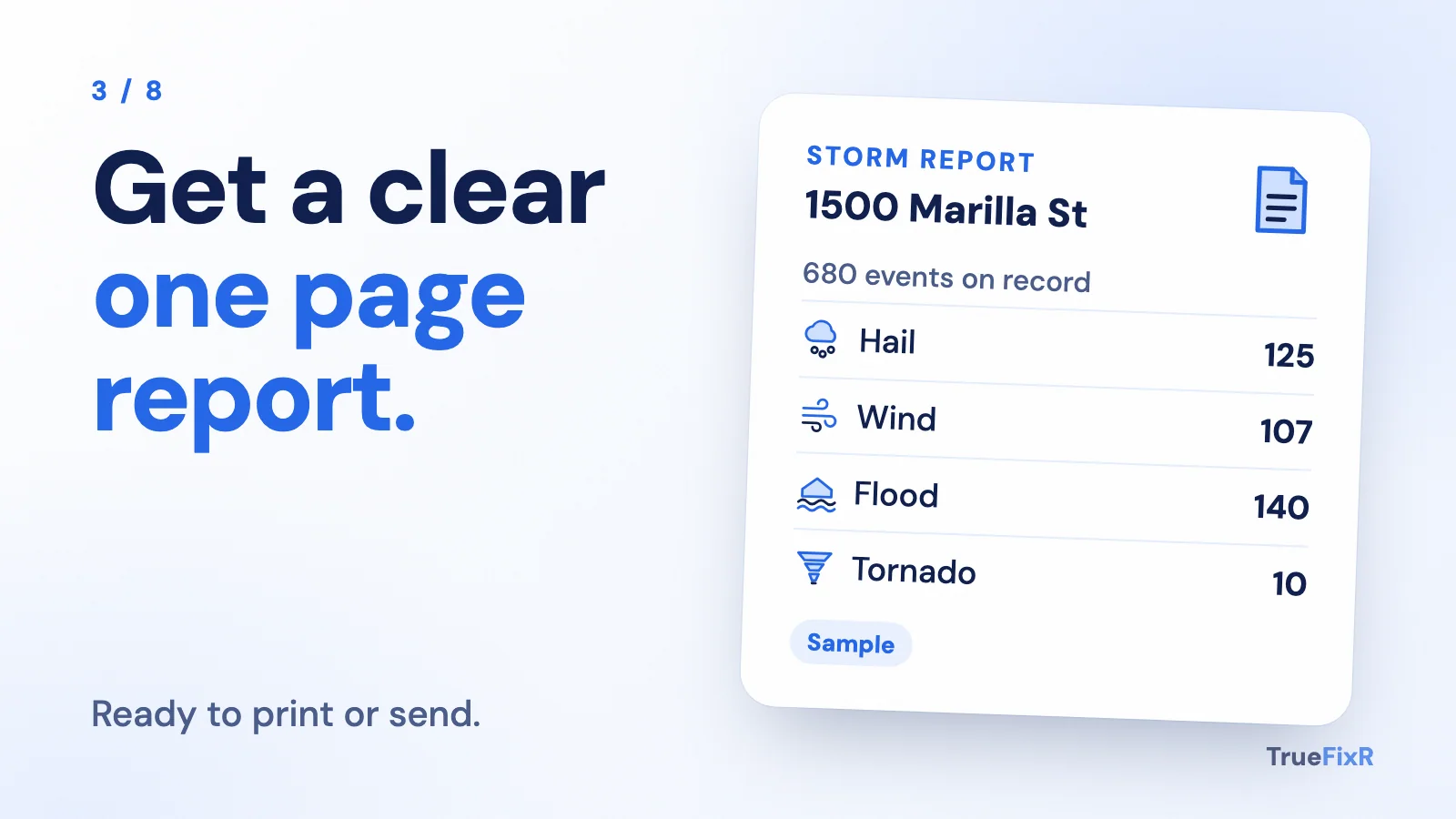
One property, 11 reported-event categories (hail, wind, flood, lightning, tornado, hurricane, winter storm, extreme heat and cold, drought, wildfire and coastal), 2003 to today, as one citable report. Every matched event is one line with date, type, magnitude where measured, distance and county. Add a date of loss for a yes or no on whether an event was reported or radar-detected within your radius that day.
- You get
- A formatted report with a reference_id, one line per event, plus the summary view (hazard score, $0.50 per property): per category the event count, most recent date, years since the last event and, for hail, wind and winter, the most severe event.
- Price
- $0.05 per event line, $10 minimum per report. Hazard score summary: $0.50 per property, flat.
- Free preview
- Free. Line count, exact cost, counts for all 11 categories and the date-of-loss answer.
- What it is not
- A record of reported and radar-detected events, not a damage assessment. It does not support or deny any claim.
dataset=historyTrueFixR
Past Storm Leads by Address: Reported and Radar-Detected, Last 365 Days
Address-level records of storms reported or radar-detected at or near each address in the last 365 days, filtered by county, peril and severity. Sorted by severity, then recency.
- You get
- Per address: full address, coordinates, storm type, event time, severity with its unit (such as hail inches or wind mph), distance from the event and a hit count for repeat exposure. A reference_id comes with every paid pull.
- Price
- $0.05 per address.
- Free preview
- Free. County total, counts per storm type, severity ranges with their units, repeat addresses and the exact cost.
- What it is not
- A record of reported and radar-detected events, not a damage assessment. Severity describes the storm, not damage to a structure.
dataset=storms&addresses=true